Our Drone Services
Providing cutting-edge aerial solutions across various industries.
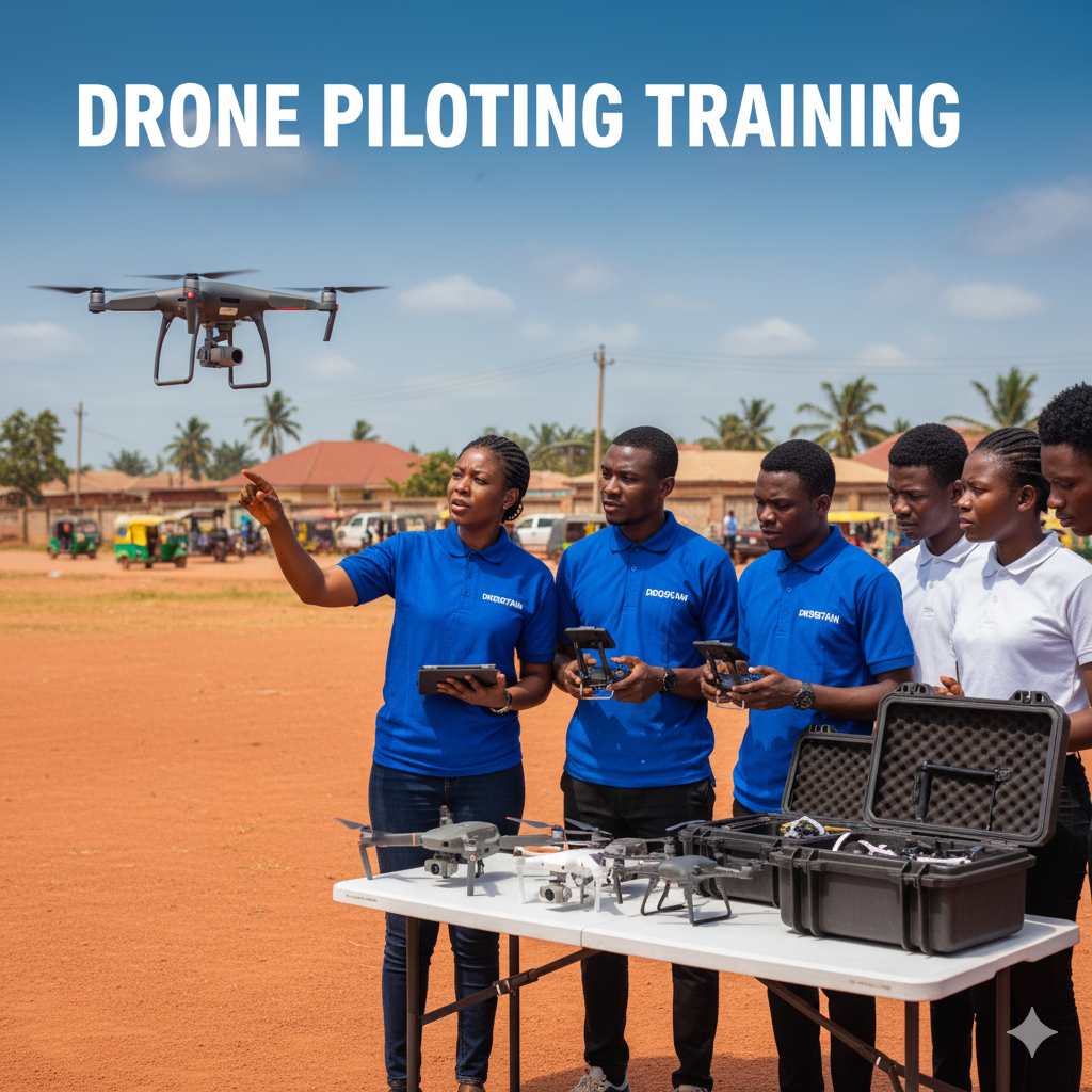
Drone Piloting Training
Master the art of drone operation with our comprehensive training programs, from beginner basics to advanced aerial maneuvers.

Drone Engineering Education
Dive deep into the world of drone technology, learning everything from design and assembly to maintenance and repair.
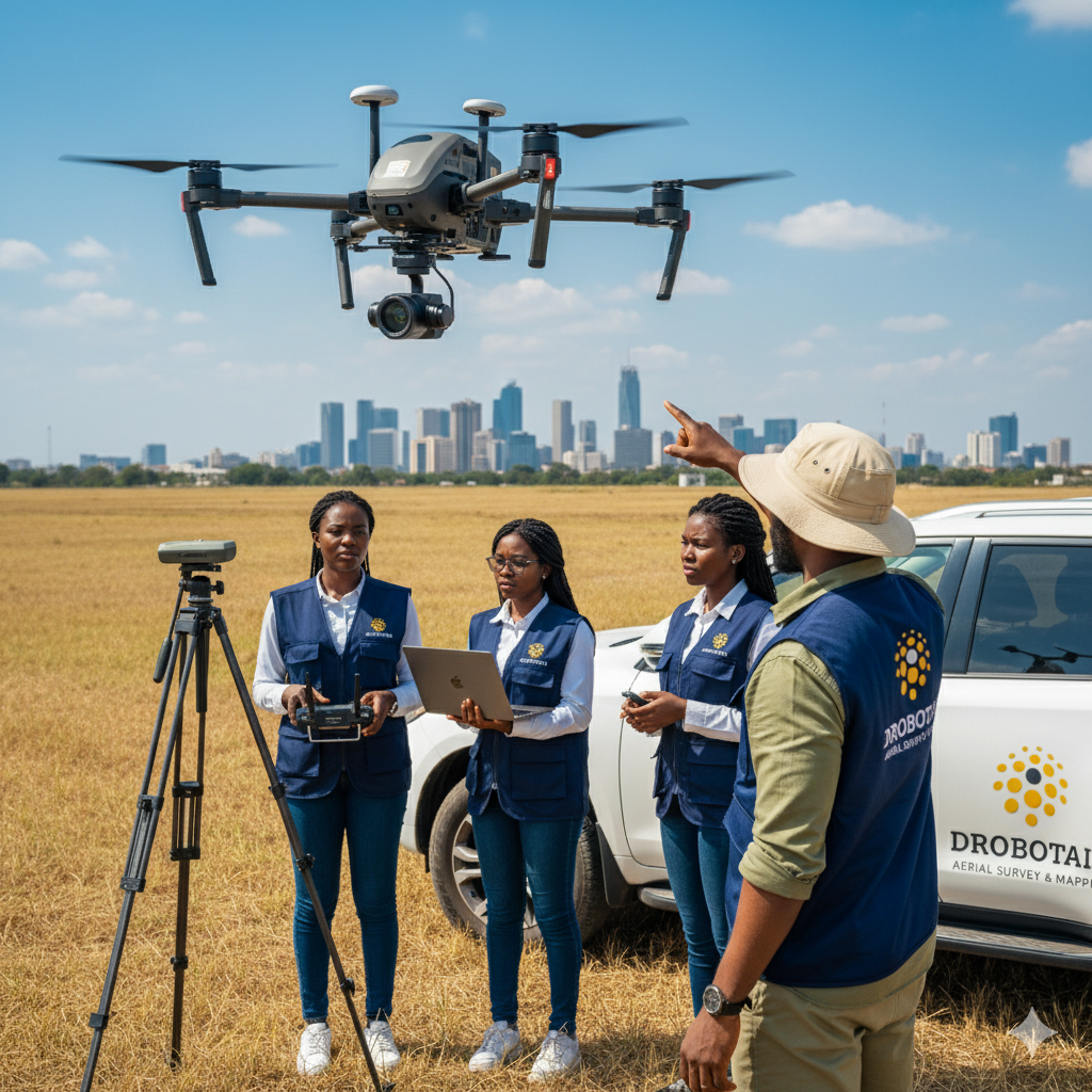
Aerial Survey & Mapping
Leverage cutting-edge drone technology for precise land surveys, topographic mapping, and detailed 3D modeling.

Aerial Event Services
Capture unforgettable moments from a unique aerial perspective with our professional drone photography and videography services.
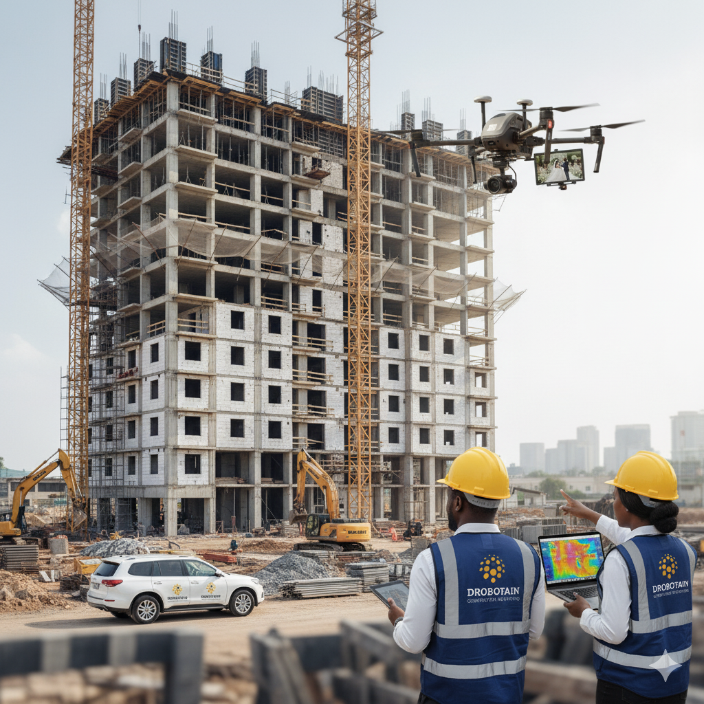
Construction Monitoring & Aerial Inspections
Keep your projects on track and ensure safety with our real-time aerial monitoring and detailed inspection services.

Drone Educational Program
Inspire the next generation of innovators with our hands-on drone workshops and educational programs for schools and organizations.
Ready to elevate your project?
Contact us today to discuss your specific needs and learn how our drone services can benefit you.
Book A Demo